terça-feira, 12 de abril de 2011
Show and Share
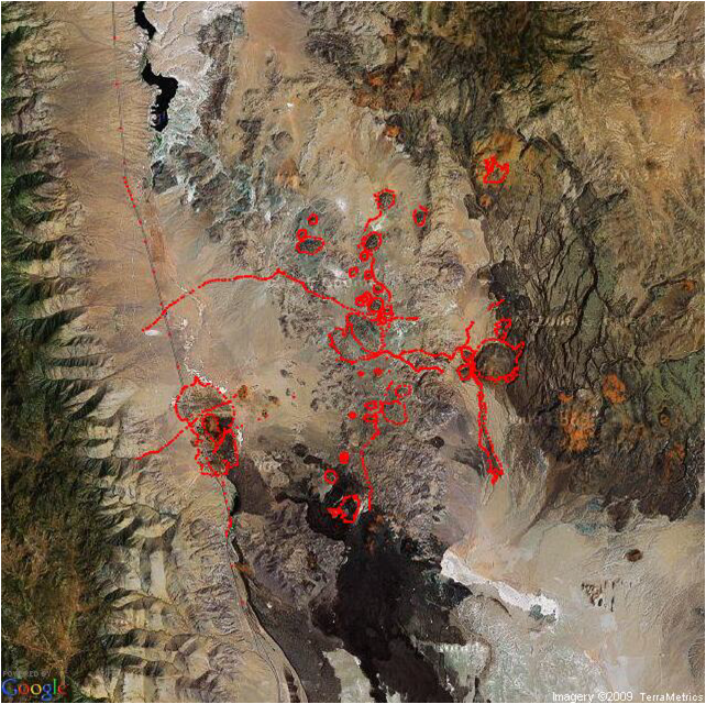
This coming Friday we will have Marcelo presenting the RGoogleMaps package: how to call GoogleMaps from R and have your data analysis plotted in Goggle maps with satellite images as background, street layout, main landscape features and even 3 dimensional objects!! Do not miss this one. It is a show and it will be shared.

Assinar:
Postar comentários (Atom)
Nenhum comentário:
Postar um comentário